Calpe Walks
Morro de Toix
Morro de Toix is about 3 miles South-West from our hotel in Calpe. It rises 320m out of the sea which makes it a popular location for paragliding and climbing. The links below will load images from www.flickr.com. I hope we will be able to get a bus to the start of our walk, which is on the N332 main road to Altea and Benidorm.
Click on these images for a larger version in a new window.
Our route will take us first up a short climb of 240ft to Calpe's Castle, El Castallet which used to guard the route through the gorge beneath, leading to the South.
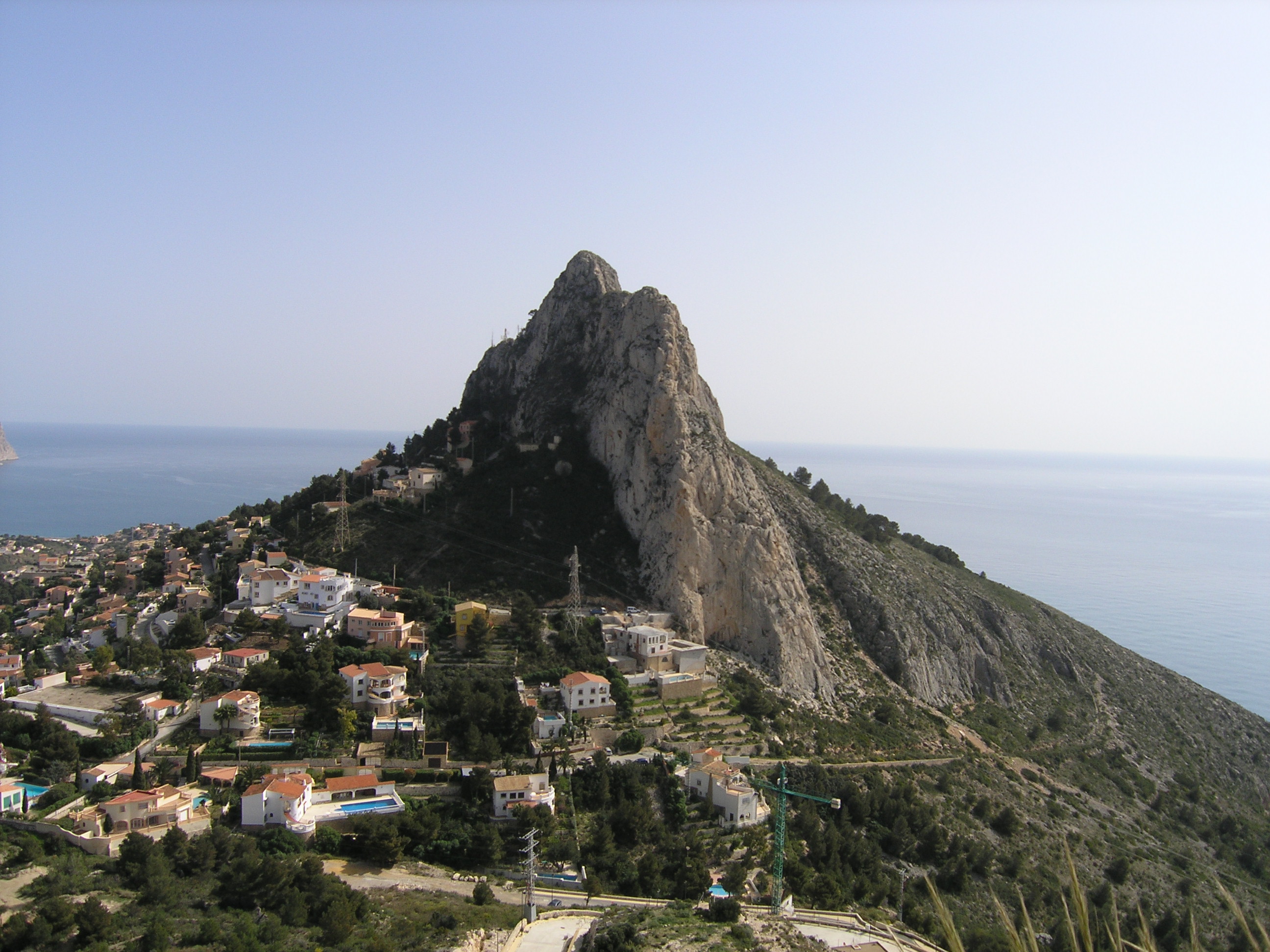
El Castallet is on top of the hill at the right hand side of this image. This view looks North-West. We will not be going to the higher peak in the centre which is on the far side of the gorge.
After El Castallet, we retrace our steps, rejoining any members who opted out of this stage, and walk South around the summit of Morro de Toix in an anti-clockwise direction.
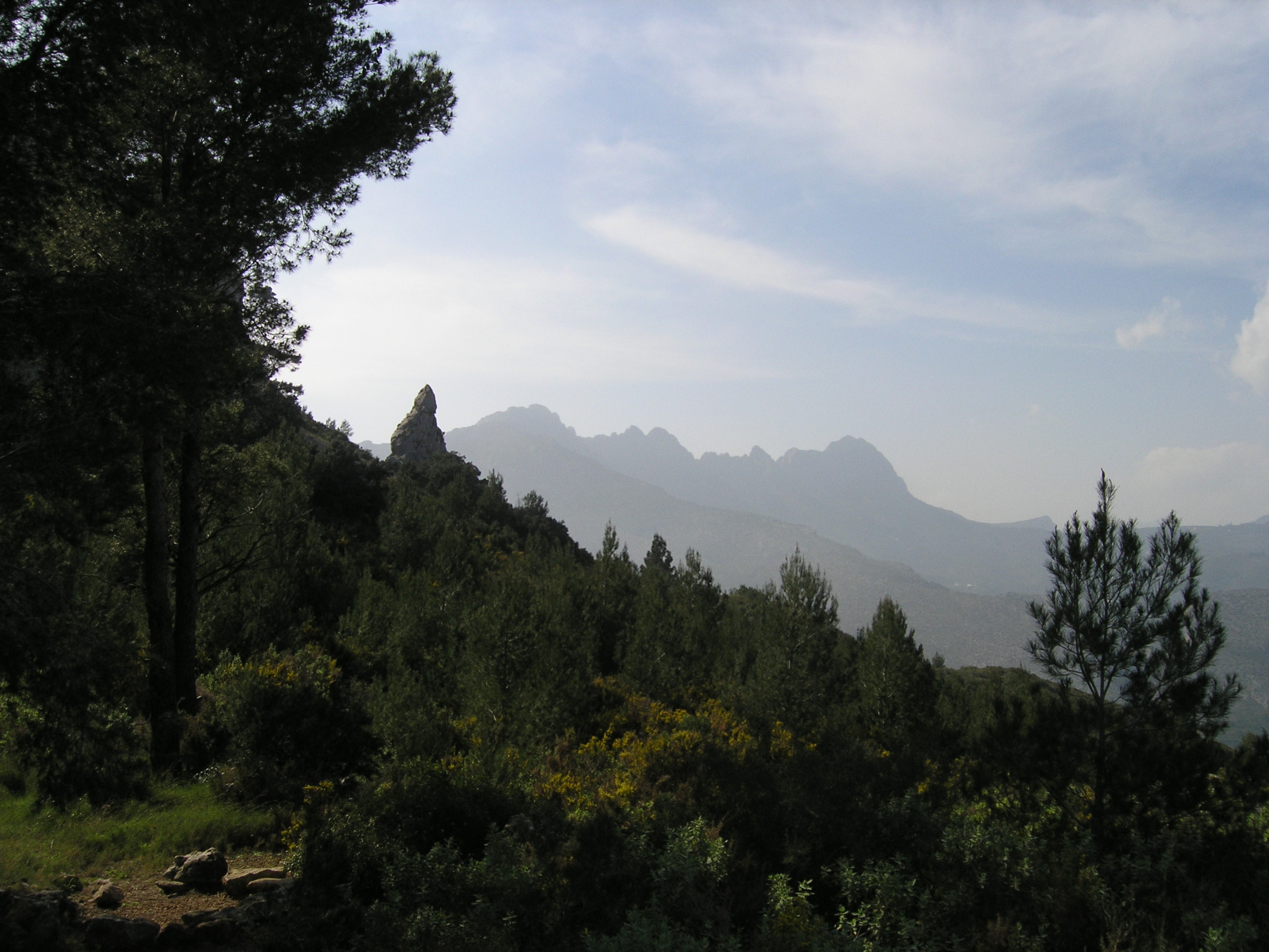
This image shows our footpath just above the red canopy. At the end of the path, we turn left and climb 500ft steeply towards the radio station on the summit ridge. From then on, it is all downhill, we will walk South-East along the crest of the ridge following the access track for the radio station:
We will return to the start through the edge of the Mar y Villa estate on the North side of the ridge.
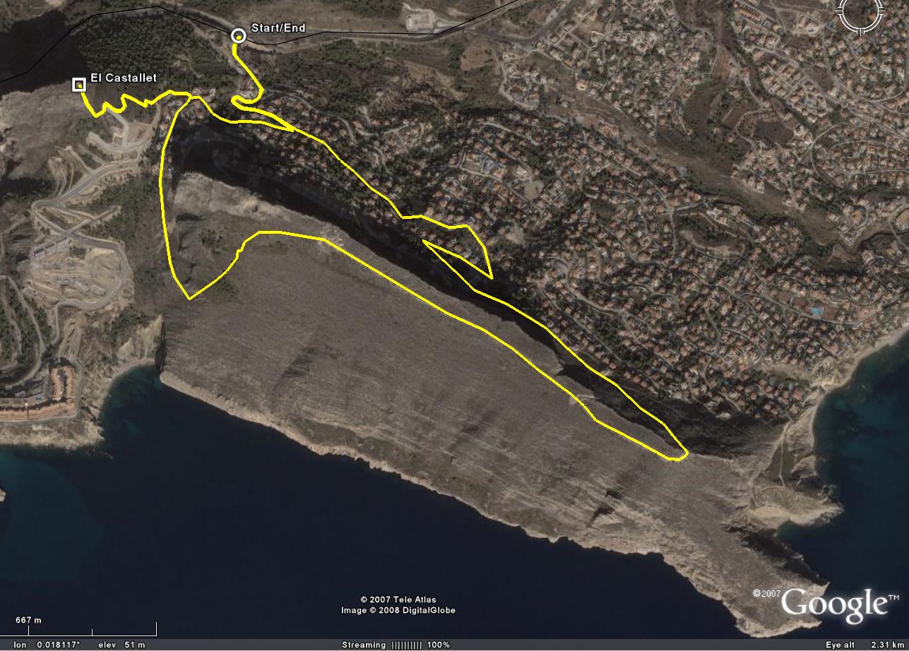
 Link to track of proposed walk in Google Earth.
| Full walk | Without ascent to El Castallet | |
|---|---|---|
| Distance: | | |
| Ascent: | |
Photographs from walk on 25 February 2008:
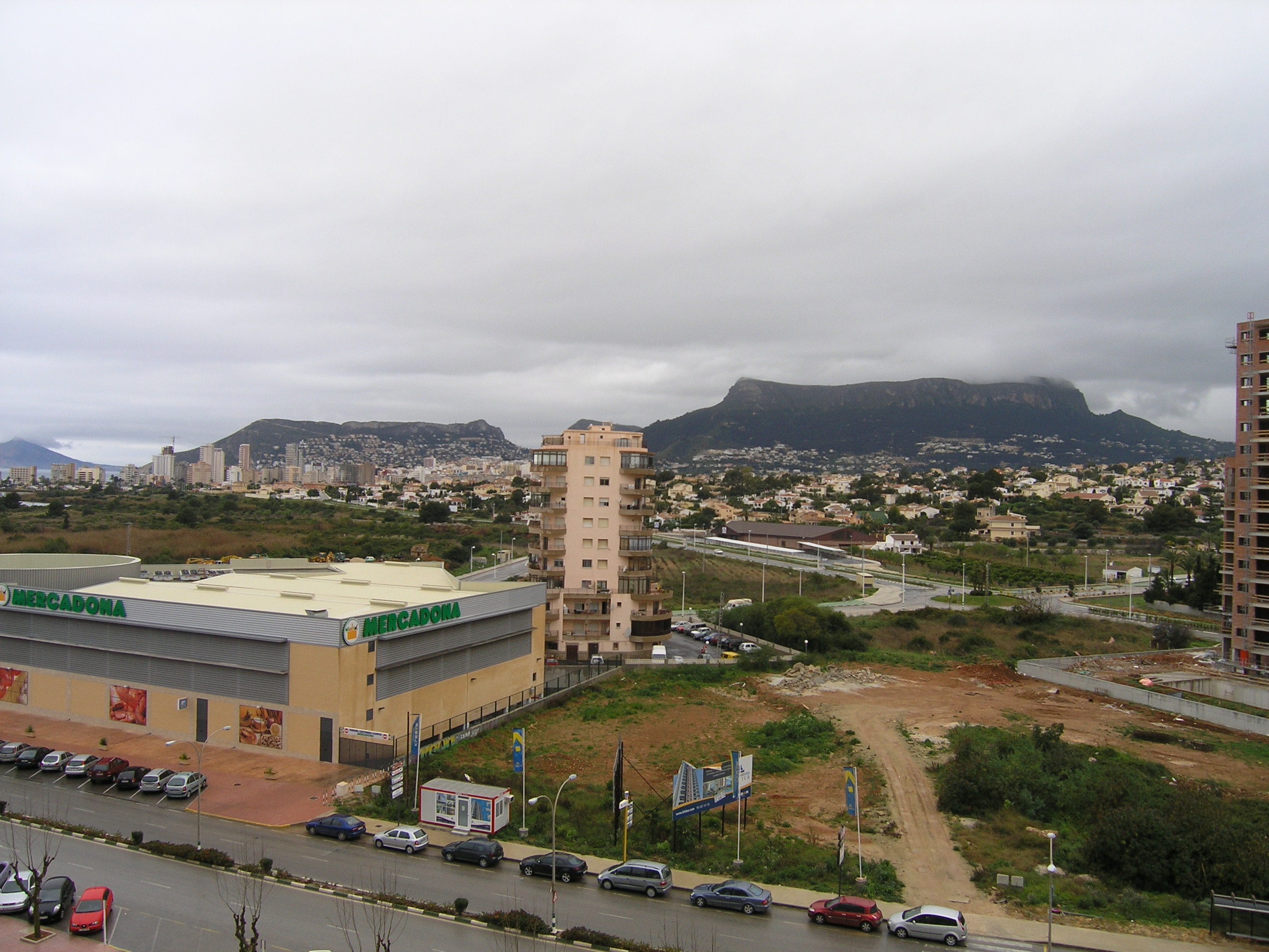 View of Sierra de Toix (left) and Sierra de Olta (right) from Hotel Diamantwe Beach
 View of Sierra de Toix from El Castallet
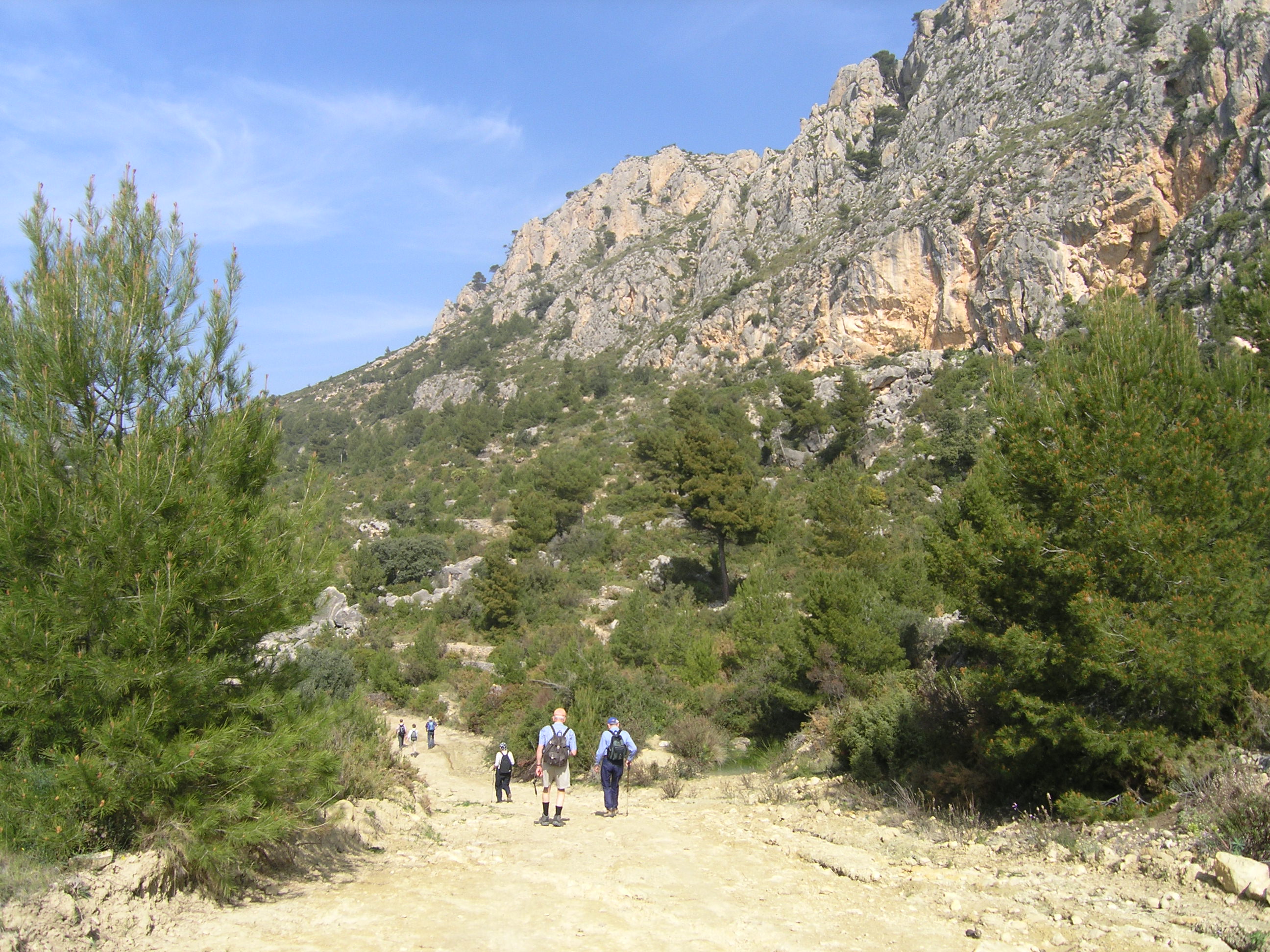
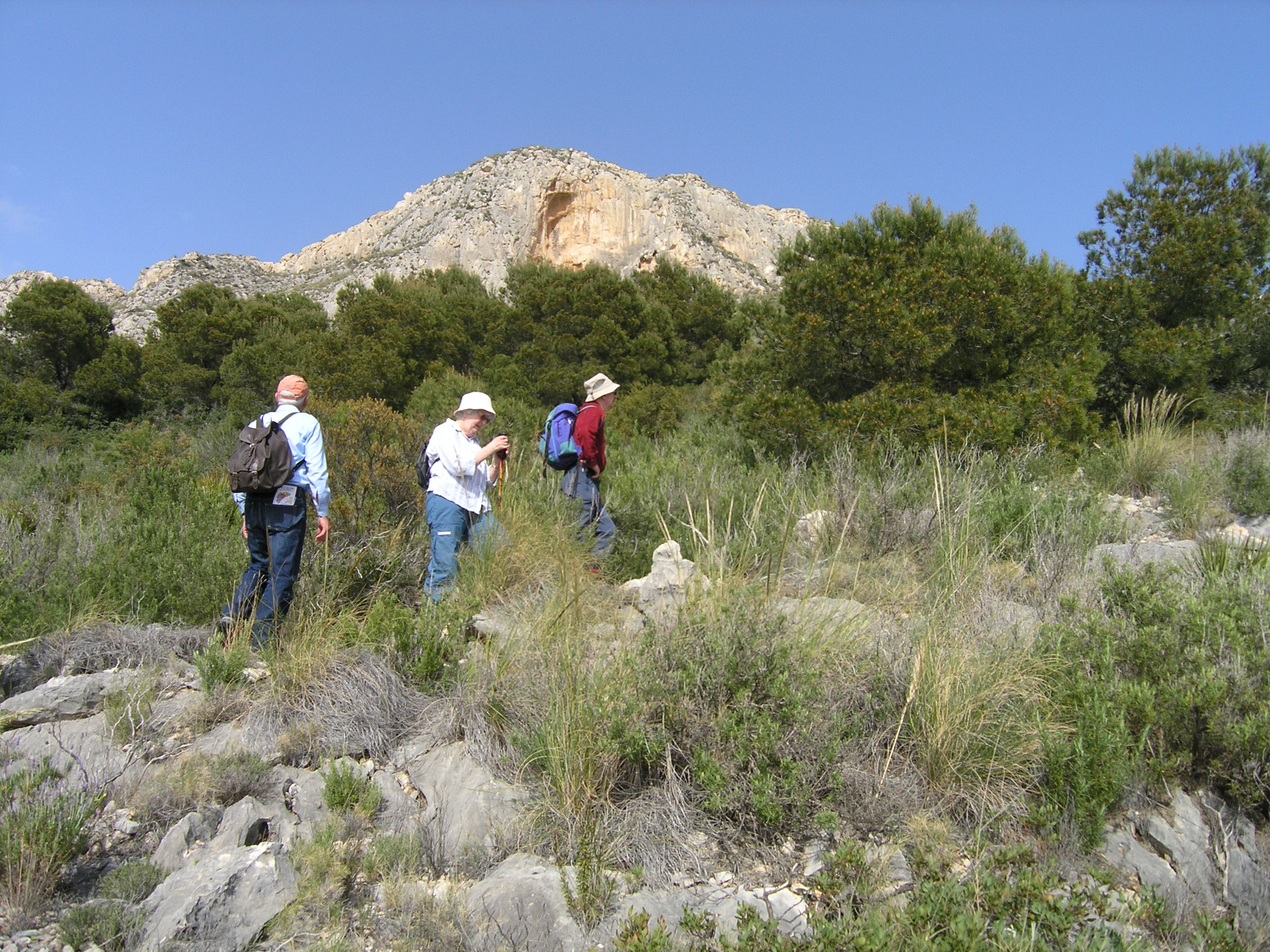 Ascent of Sierra de Toix
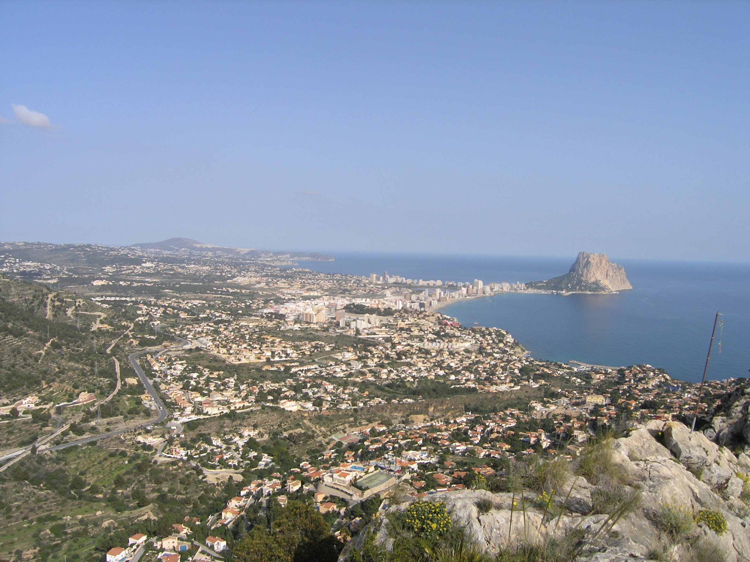 View of Calpe from Sierra de Toix
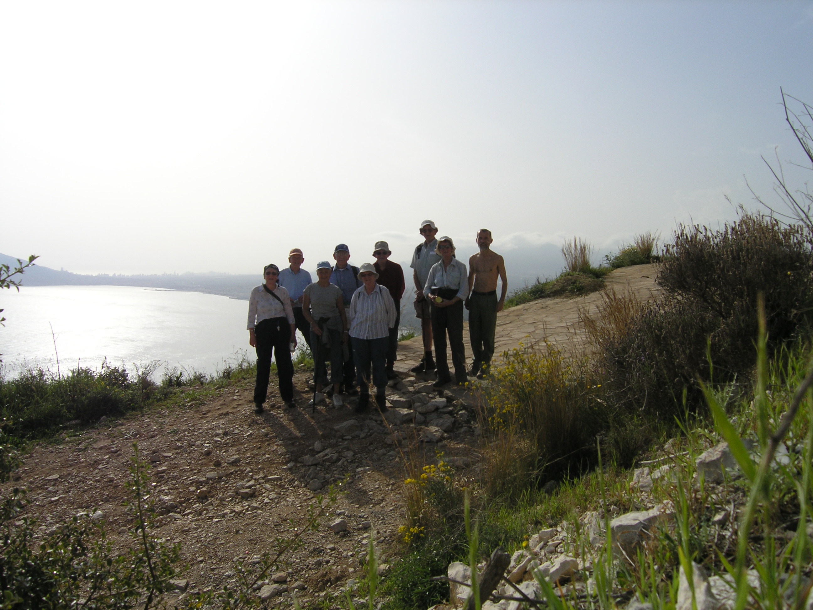 9 walkers made it to the top of Sierra de Toix
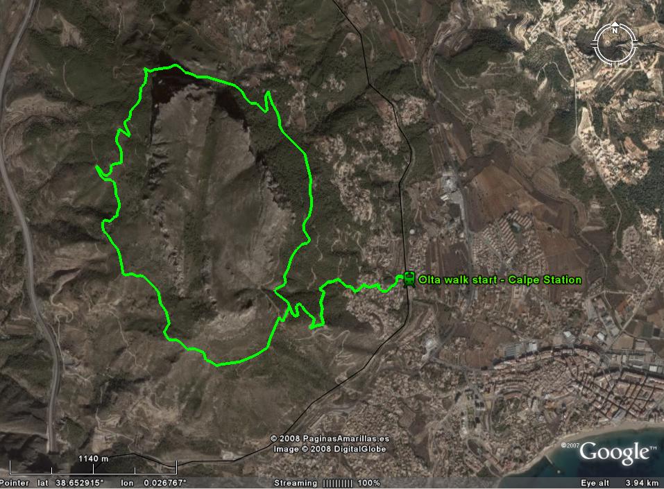
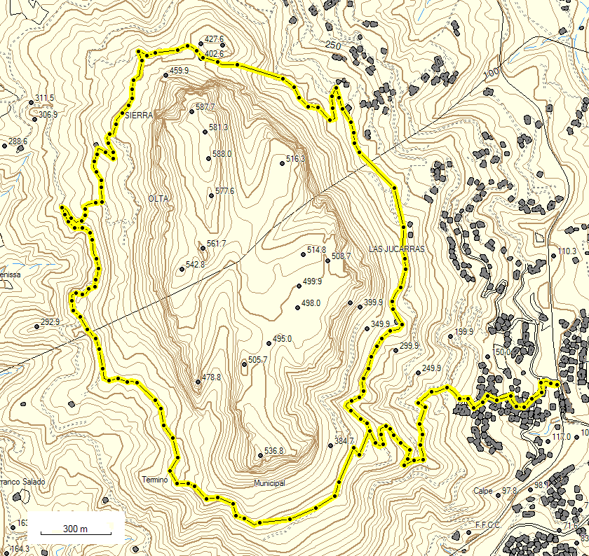
Olta Circuit.
This is a circular walk around the Sierra de Olta, an impressive mountain with rocky pinnacles and encircling steep cliffs. The start, and end, of our walk will be at Calpe's railway station, some 3 miles from our hotel. I hope to get a local bus to and from the station.
Click on these images for a larger version in a new window.
The walk in from the station to the circuit will be about one mile in length, the first third being through housing estates, and involves 250m, 800ft of ascent. Once on the circuit the route esentially levels out, and in the next 4.2 miles there is a total of 200m 650ft of ascent (and descent!)
Here are two links to views of Olta:
-
View of Olta from Calpe's rock, Pe±¾n de Ifach.
Olta is the dark mountain on the left with a long flat top. -
View from the West,
Olta is on the right and Pe±¾n de Ifach in the distance.
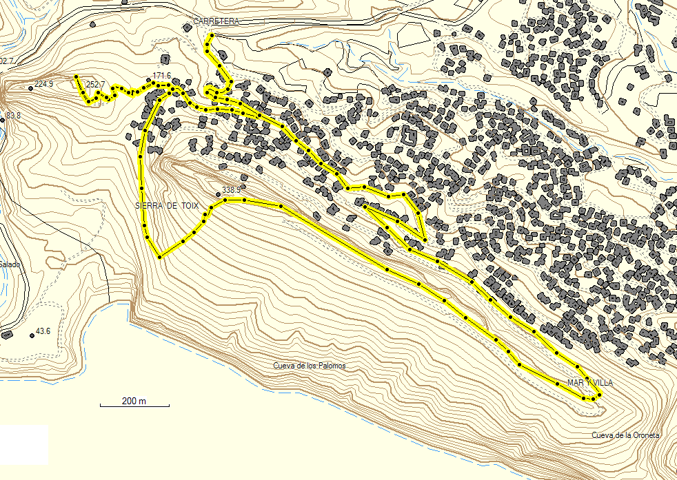
Link to track of proposed walk in Google Earth.
| Olta walk | |
|---|---|
| Distance: | |
| Ascent: | |
Photographs from walk on 27 February 2008:
 Footpath round Sierra de Olta
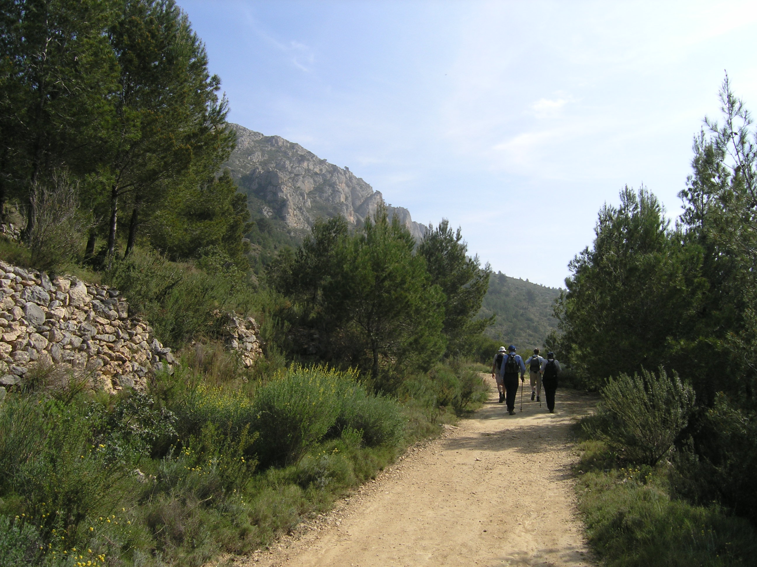 Footpath round Sierra de Olta
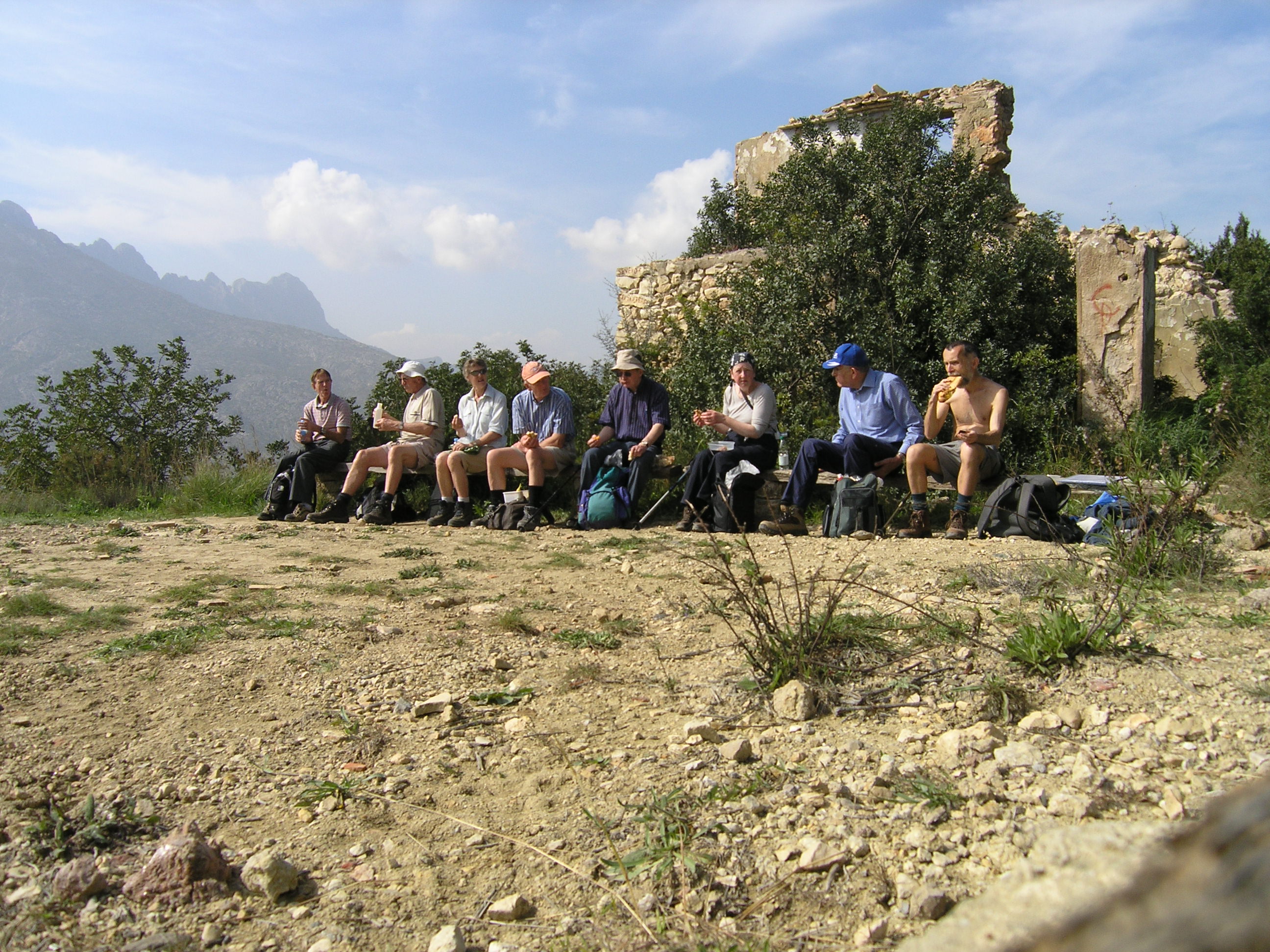 Lunch stop hale way round walk. 8 people completed the walk.
 View Sierra de Bernia from Olta circuit
Other walks
- Cala de Fustera
This small sandy bay is about 1.5 miles from the hotel, in a North West direction. This will be a "do-it-yourself" walk for those interested. -
Pe±¾n de Ifach
This rock dominates Calpe. It is 332m , 1089ft high and is part of a nature reserve. A footpath with tunnels provides access to the top.
View of Pe±¾n de Ifach This photograph predates the building of our hotel at the building site near bottom centre.
Here is a link a Spanish web page with a description of the ascent of Pe±¾n de Ifach.
I intend to do this ascent at some stage during the week. - Sierra de Bernia Circuit/Summit
I am hoping to have a more strenuous walk in this area, but it will depend on access and weather.
Link to a Spanish web page with a view of Bernia from the South East